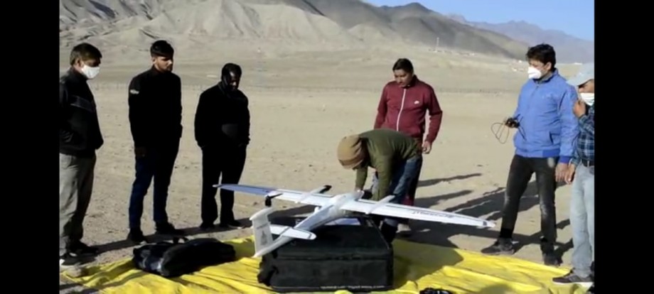
Principal Secretary inaugurates first test drone flight to measure Abadi land To aid in measuring inhabitant land under SVAMITVA scheme

Principal Secretary, Revenue, Pawan Kotwal inaugurated the first test drone flight conducted by Survey of India under SVAMITVA scheme for measuring the Abadi deh of the revenue villages of Leh district on October 3.
The SVAMITVA scheme aims to provide an integrated property validation solution for rural Ladakh. The demarcation of inhabitant (Abadi) land in rural areas would be done using Drone Surveying technology with the collaborative efforts of the Rural Development and Panchayati Raj Department, Revenue Department of UT Ladakh and Survey of India.
The property validation would enable village household owners, to use their homes as a financial asset for taking loans and other financial benefits. It provides the record of rights for inhabited rural areas in villages and creates geo-tagging of each property. It also aids in updating property and asset registers to strengthen the demand assessment process of Gram Panchayats so that the legal record of property holders is available with the UT Administration. Based on the record of rights UT Administration can issue Property Cards to household owners which would enable monetization of rural residential assets for purchase of credit and other financial services.
The first test flight lasted approximately for 3 minutes. Revenue authorities from the District Administration, officials and technicians from the Survey of India were present during the test flight.


